I was available to photograph the Palouse River as it crested this morning at just over 17 feet. The pictures are below.
Rock Creek Road
Flannigan Creek Road
Going Home
Tree Farm
Outhouse
Horse Pastures
Palouse River
Rapids
Wheat Field
Land Slide
Potlatch Flood Station
Twitter Post from yesterday.
Palouse River Flood Watch
Alley off Main Street
House Surrounded by Floodwaters
Child's Swing
Lion's Park
Palouse City Park
Gazebo at the Park
Grocery Store
-
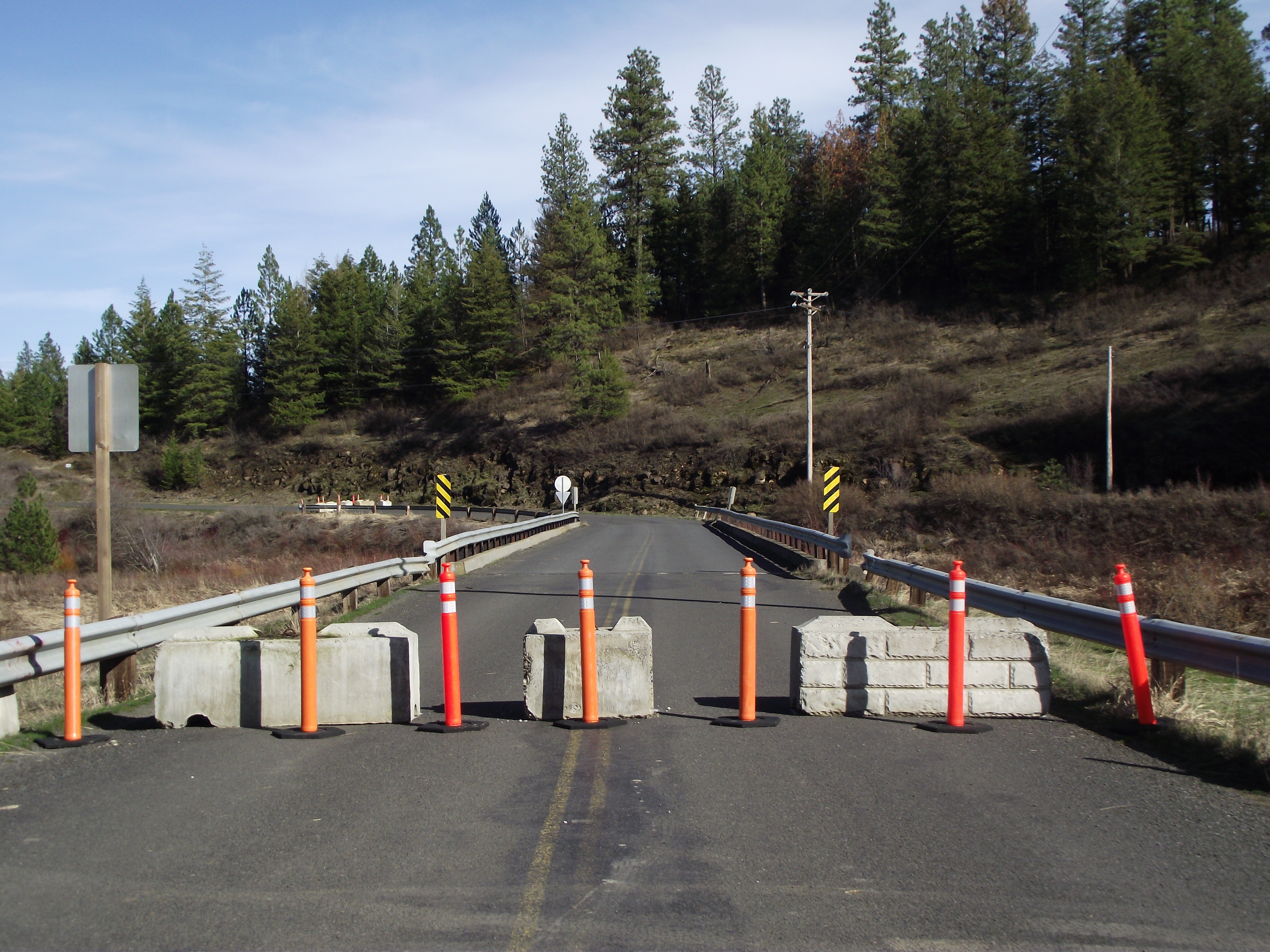
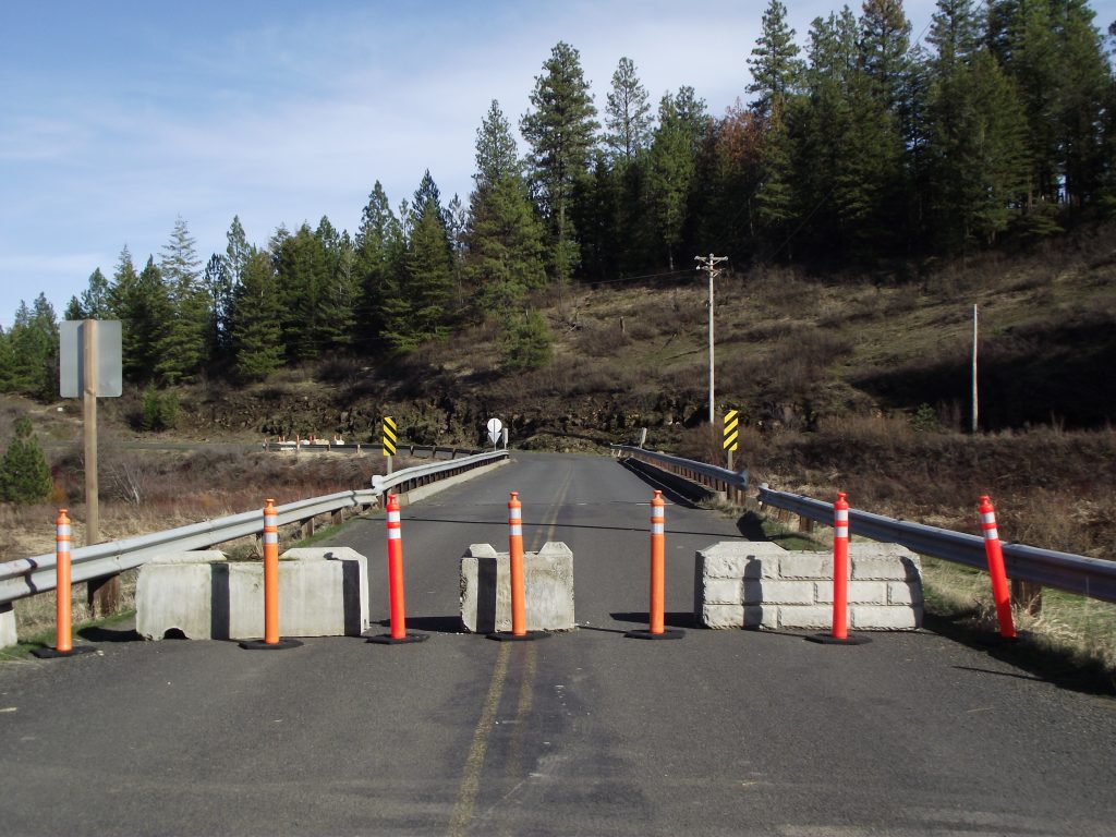
Rock Creek Road
The bridge on Rock Creek Road was damaged during ice flows in February 2017, compromising it's structural integrity. The county to close the road,out of safety concerns. Because of high water levels and excessive stream flows, they have been unable to repair the bridge. Motorist were encouraged to use the Flannigan Creek Road detour. 3/18/17 -
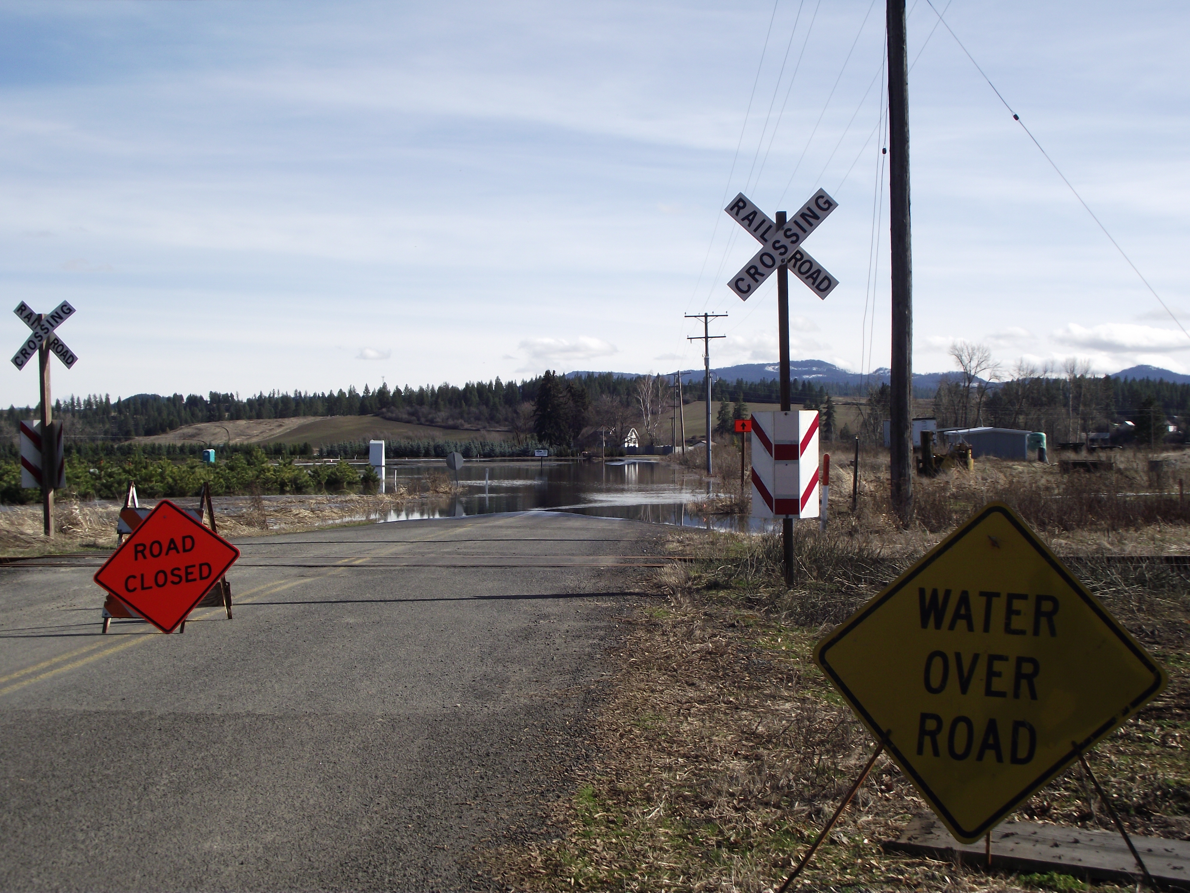
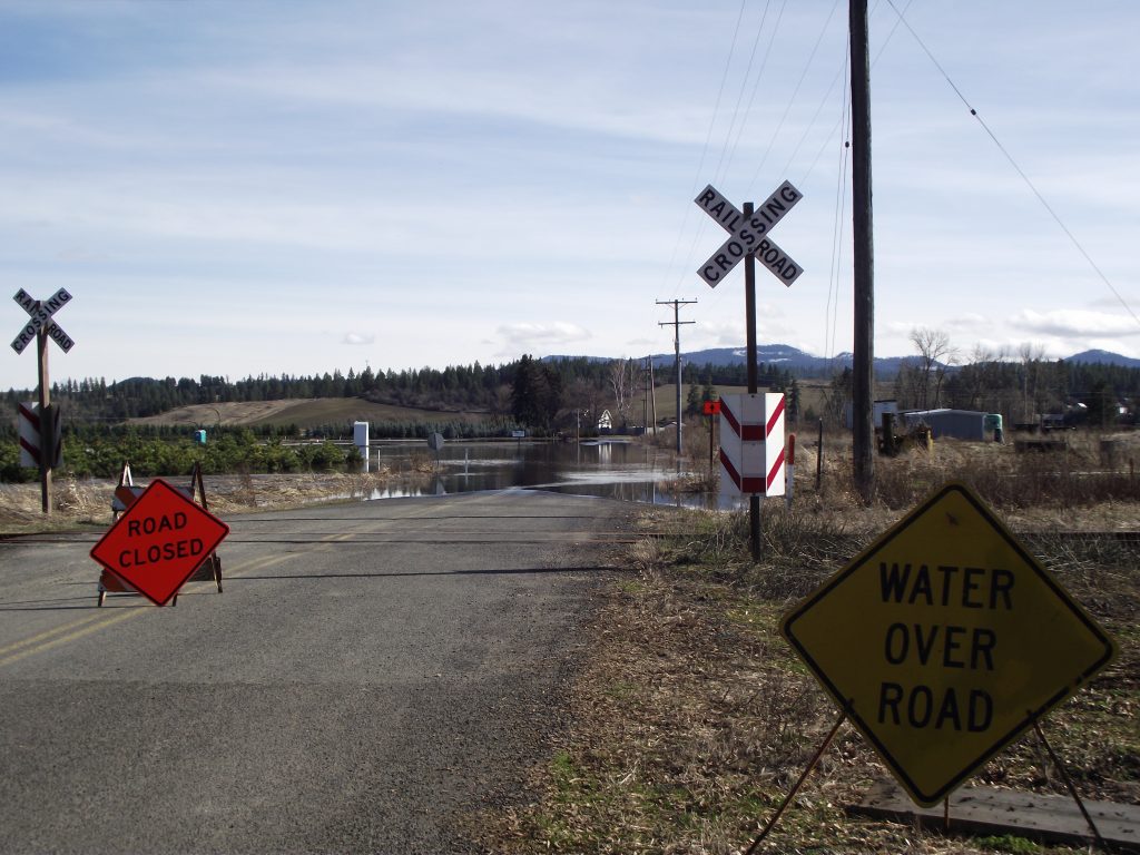
Flannigan Creek Road
Floodwater covers Flannigan Creek Road, so the detour is impassable, cutting off residents who live on the other side of the river. 3/18/17 -
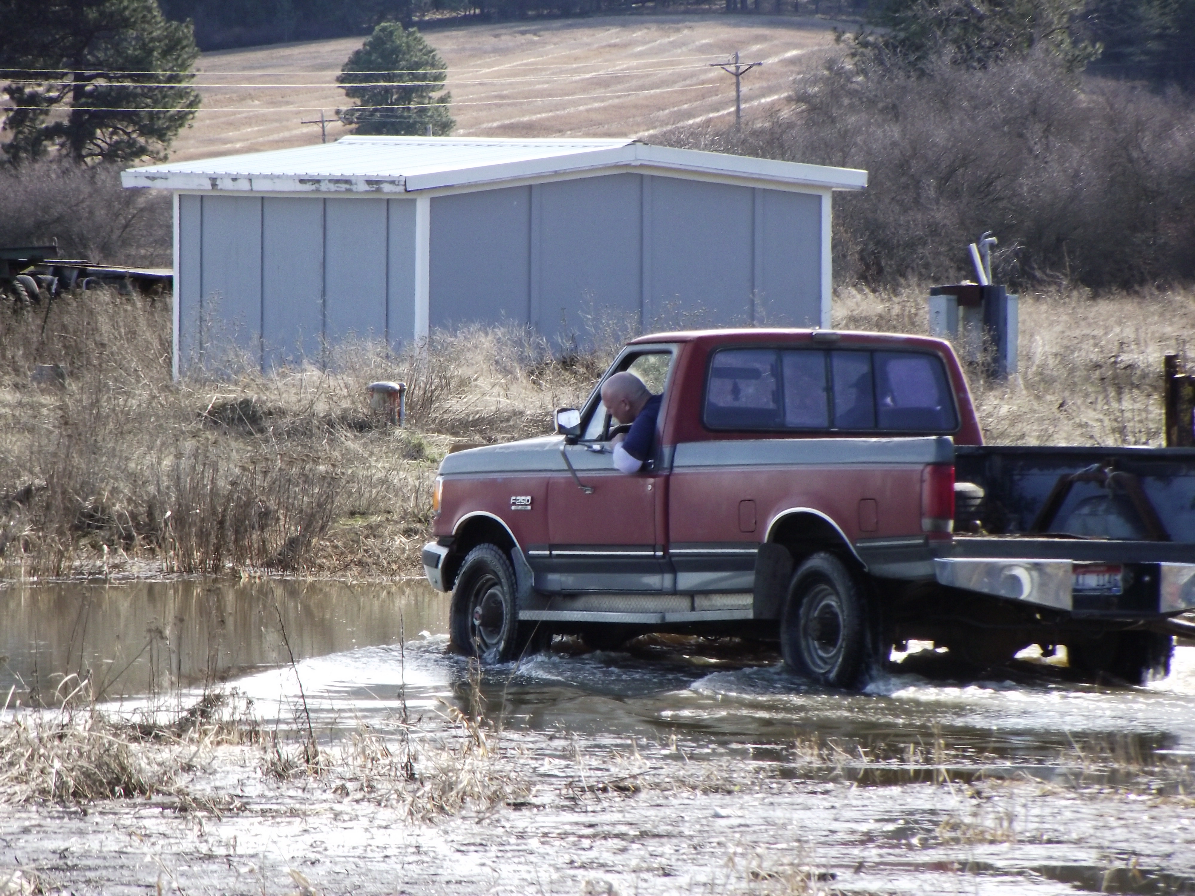
Going Home
One motorist, desperate to get home, braves the floodwaters on Flannigan Creek Road, near Potlatch, Idaho. 3/18/17 -
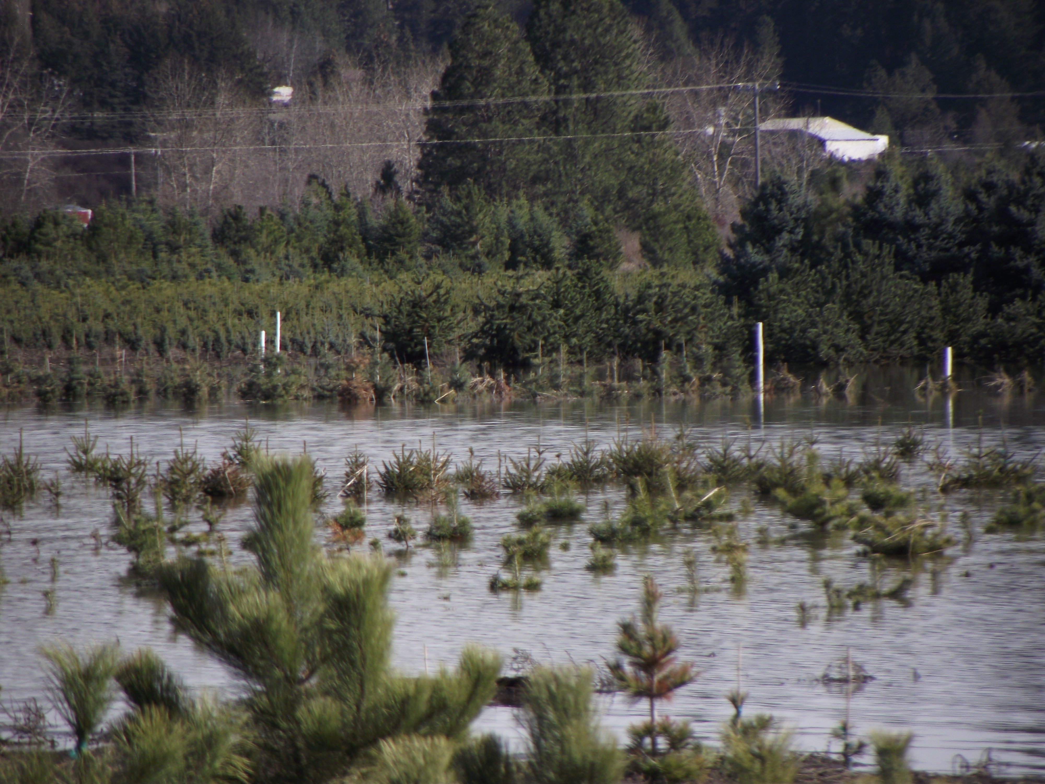
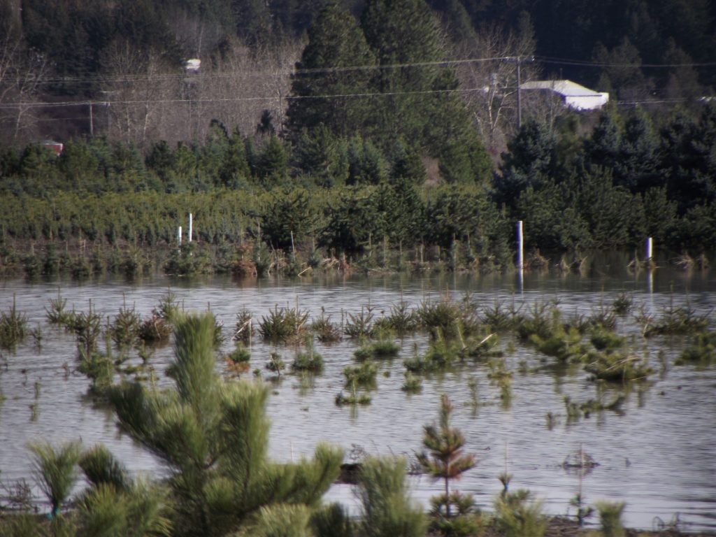
Tree Farm
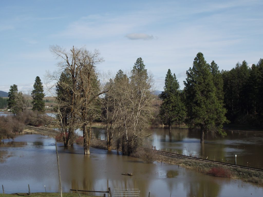
At the tree farm near Potlatch, Idaho, all that is visible is the tops of the trees. 3/18/17 -
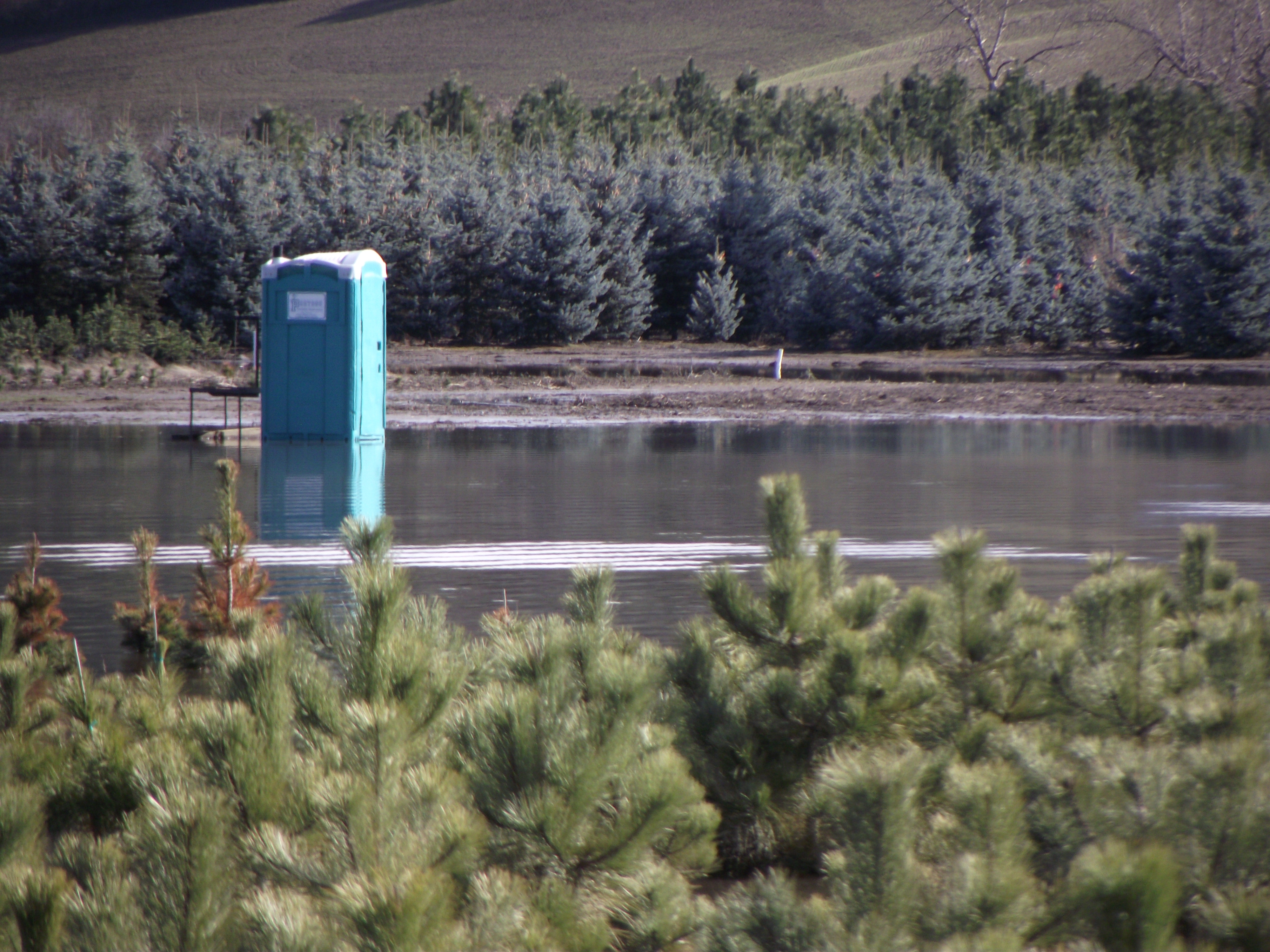
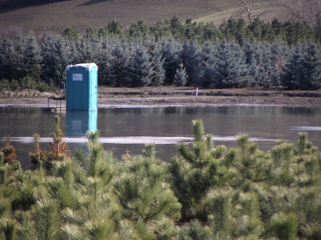
Outhouse
An outhouse sits in a pool of water at the tree farm near Potlatch, Idaho. 3/18/17 -
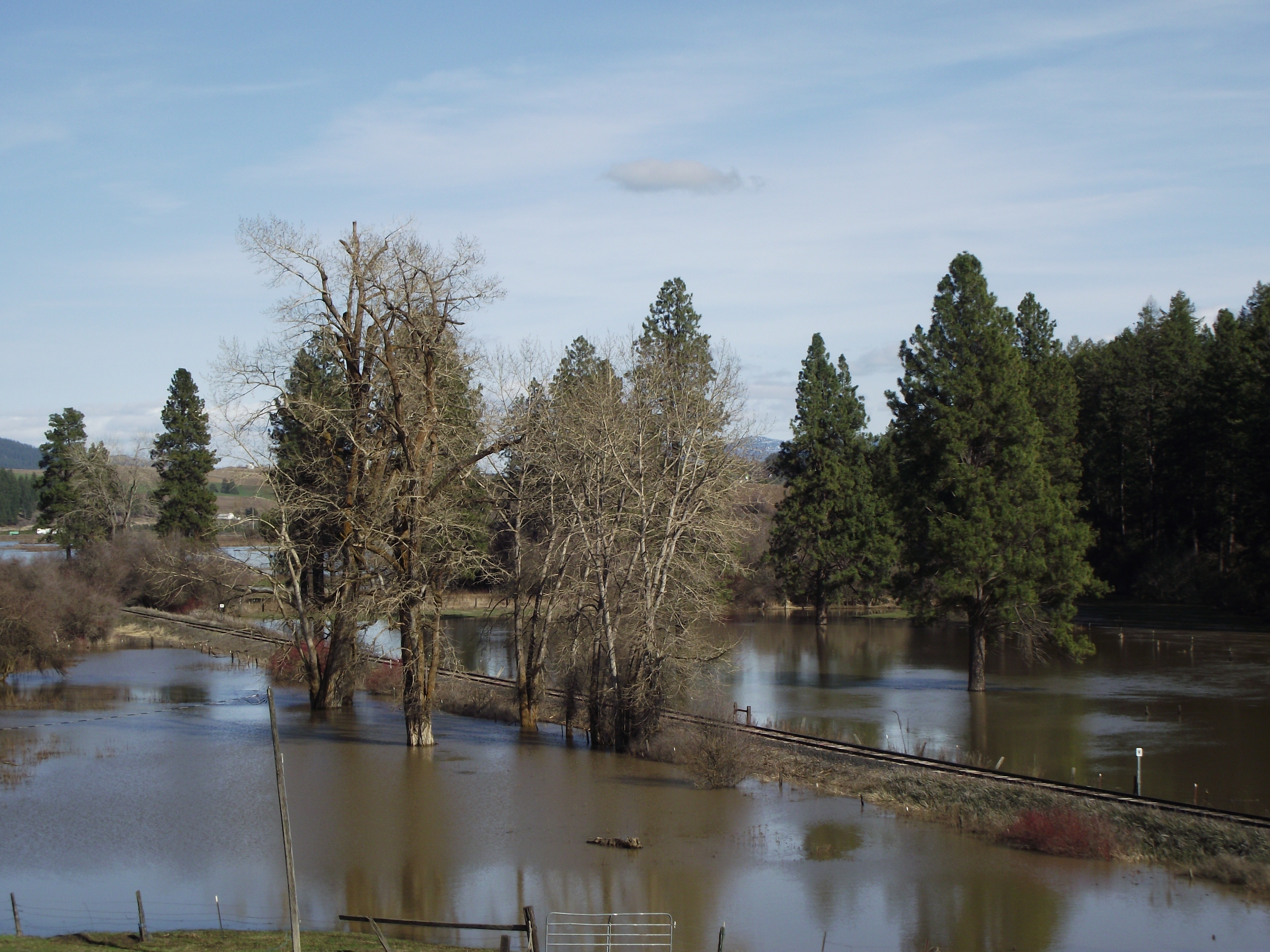
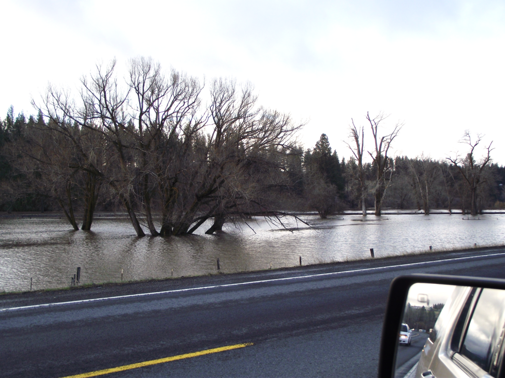
Horse Pastures
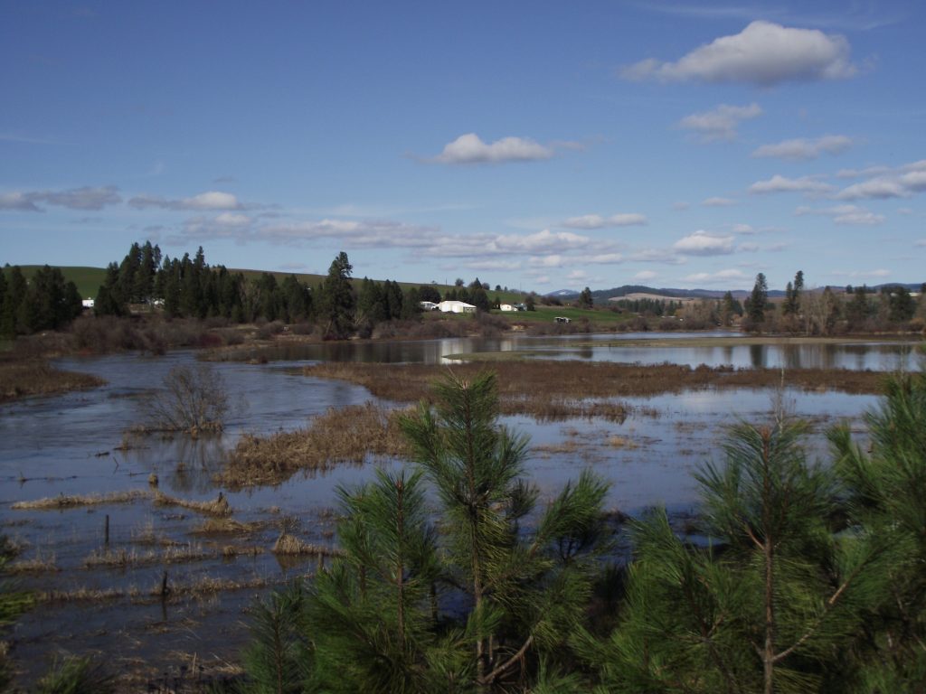
Horse Pastures along Highway 95 near Potlatch, Idaho are underwater. 3/18/17 -
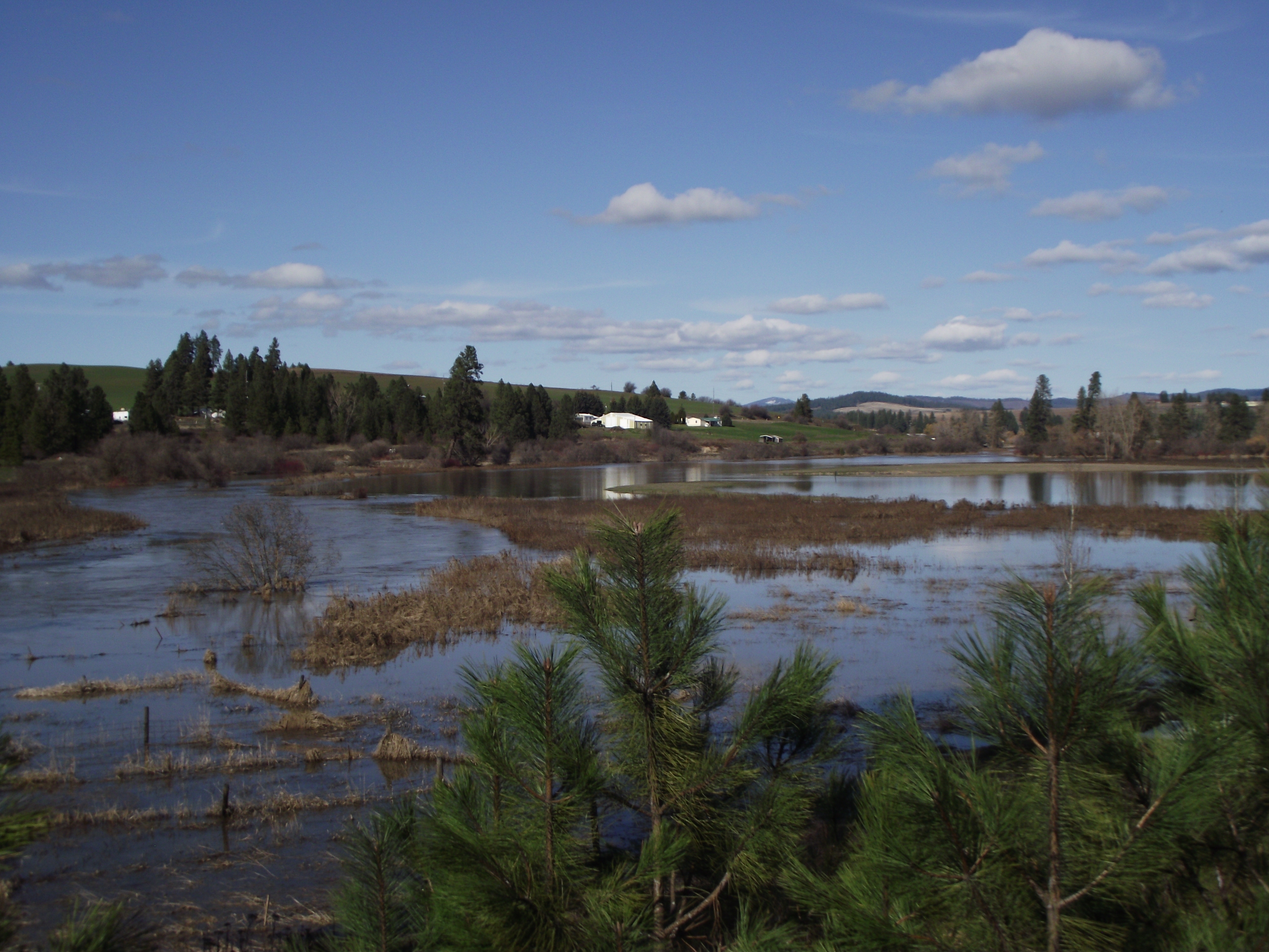
Palouse River
The Palouse River jumped its banks covering wheat fields and pastures along Highway 95 near Potlatch, Idaho. 3/18/17 -
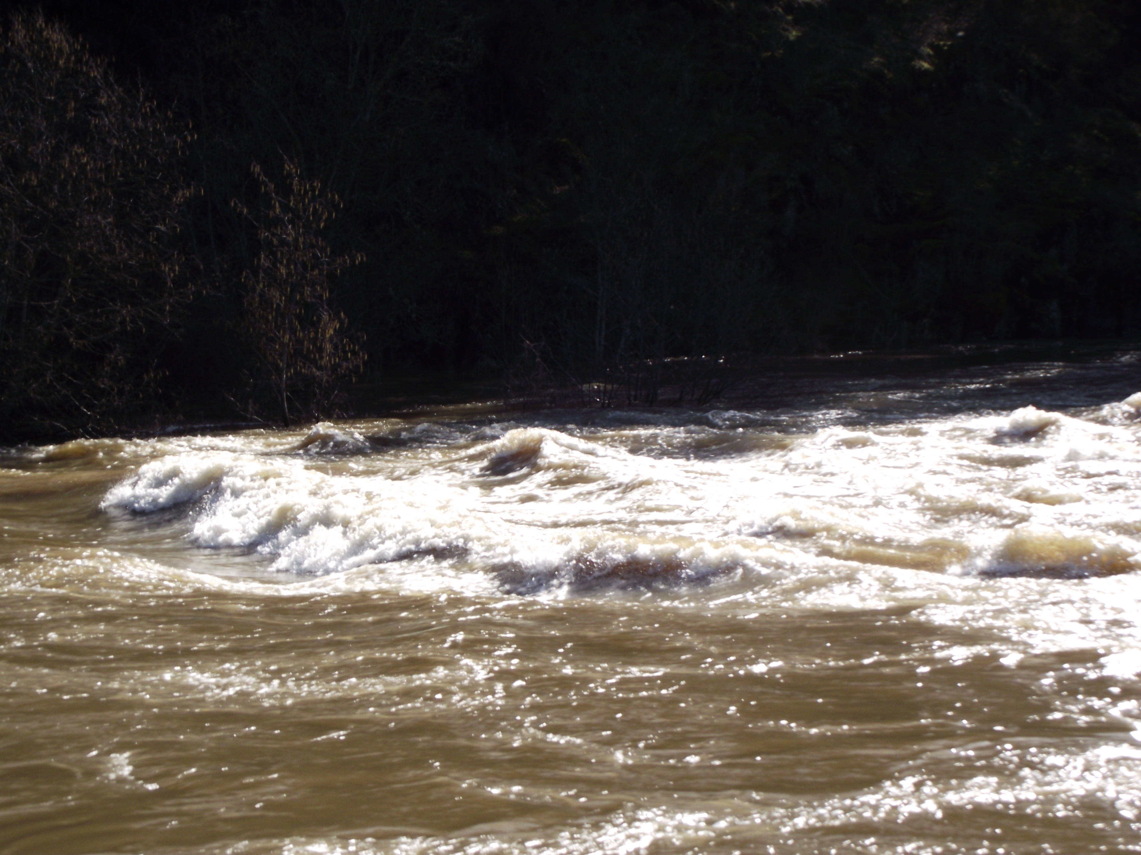
Rapids
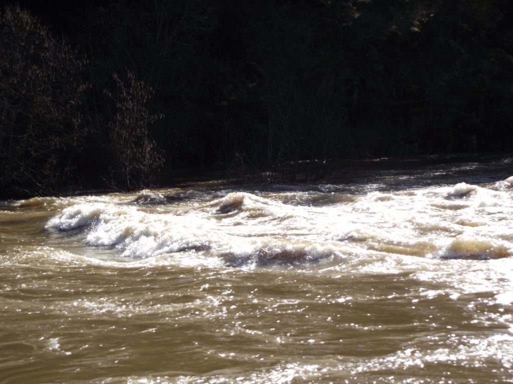
Rapids on the Palouse River are a rare sight. 3/18/17 -
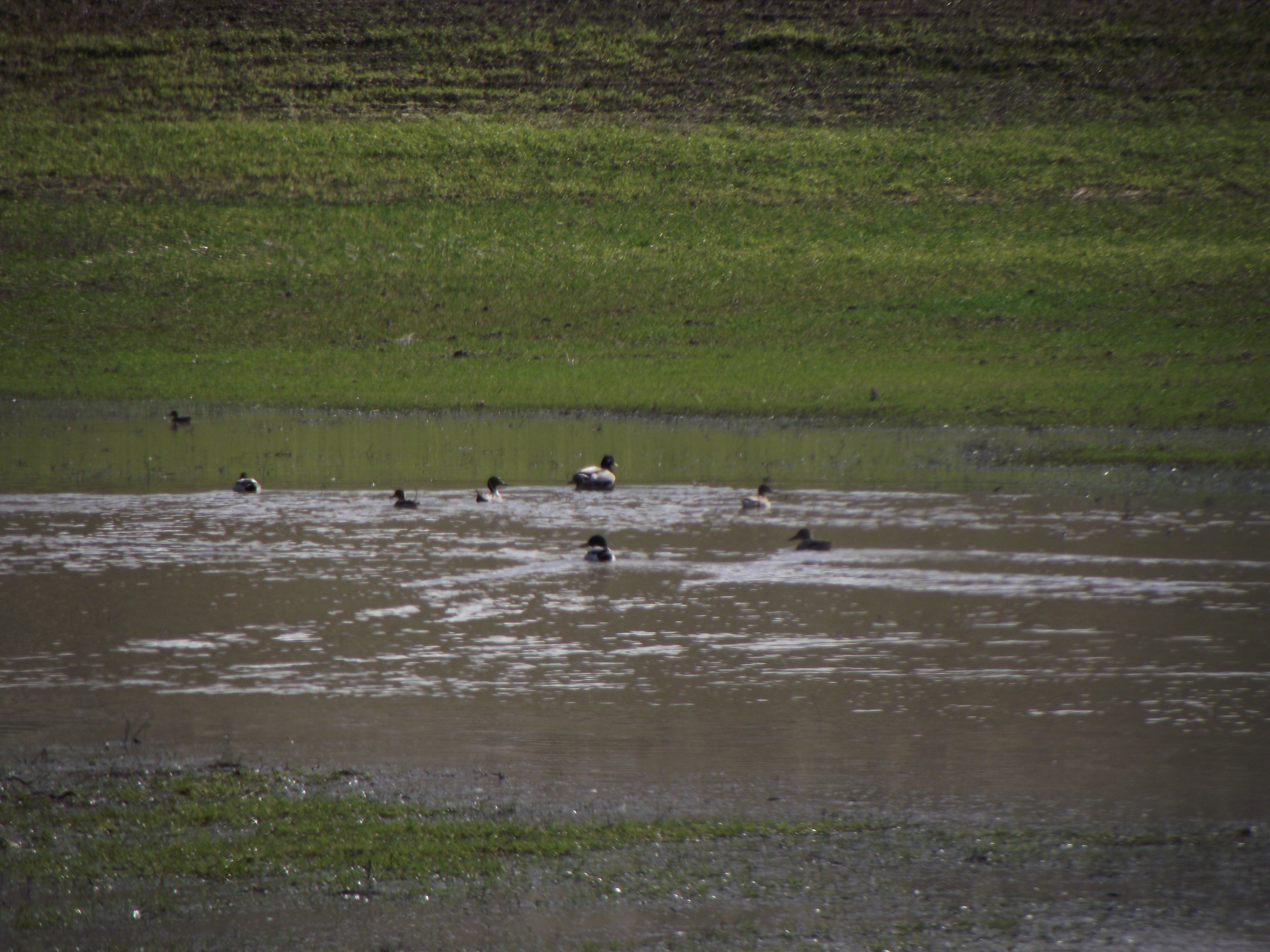
Wheat Field
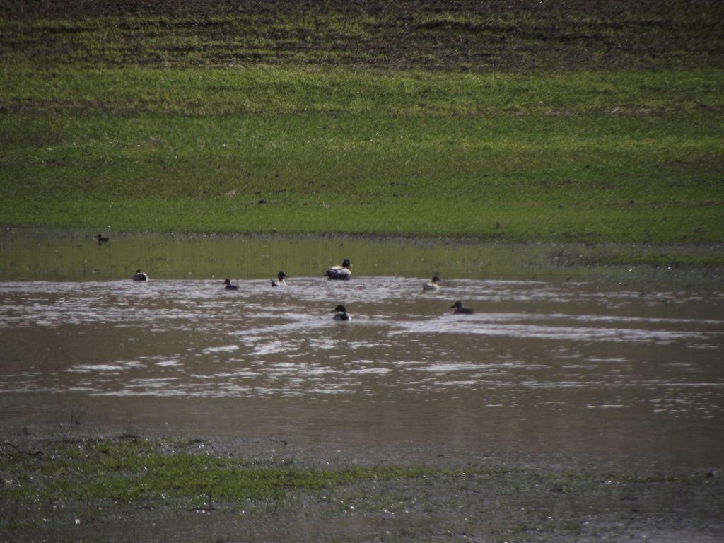
Ducks swim in the puddles left behind in the wheat fields on Trestle Road near Viola, Idaho. 3/18/17 -
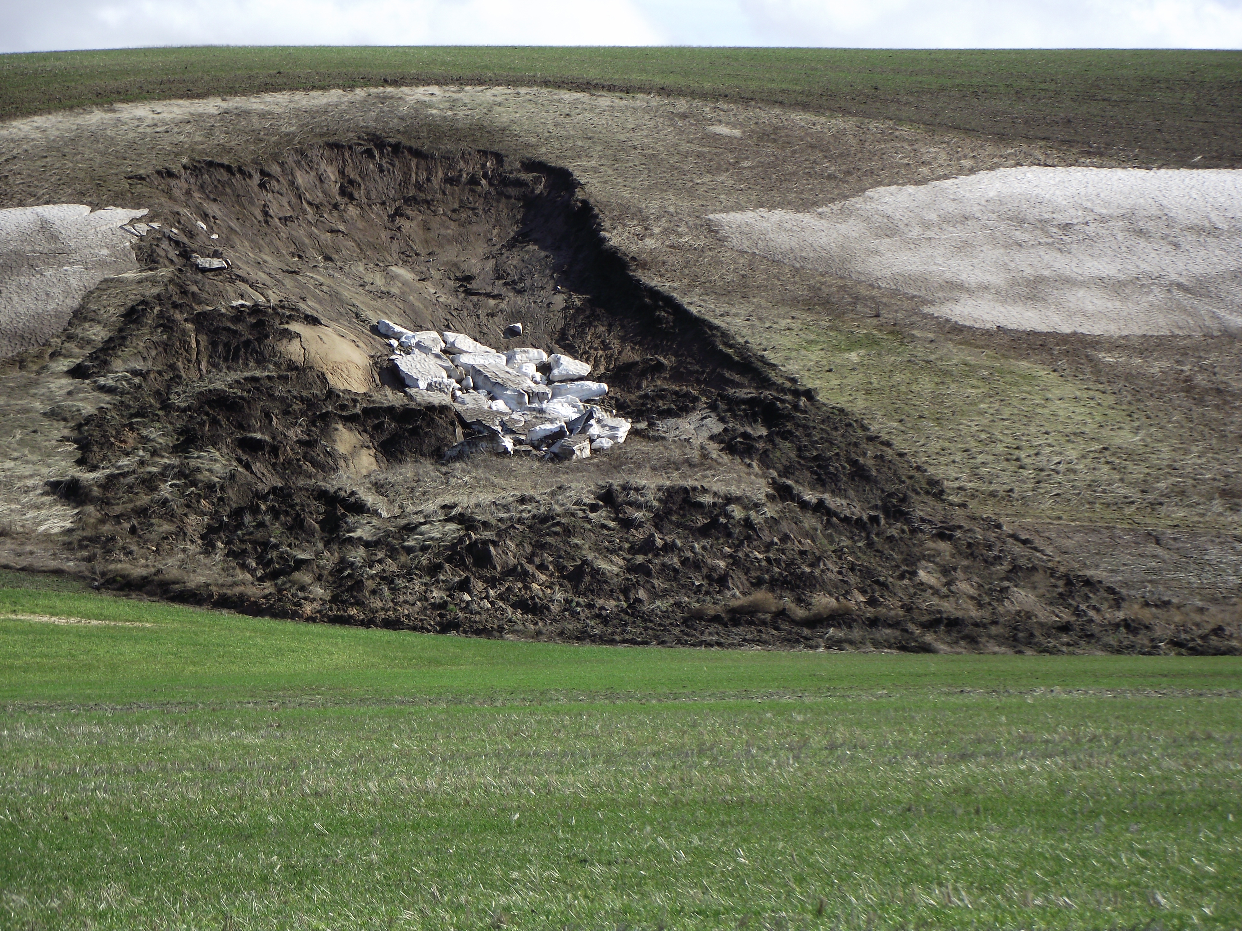
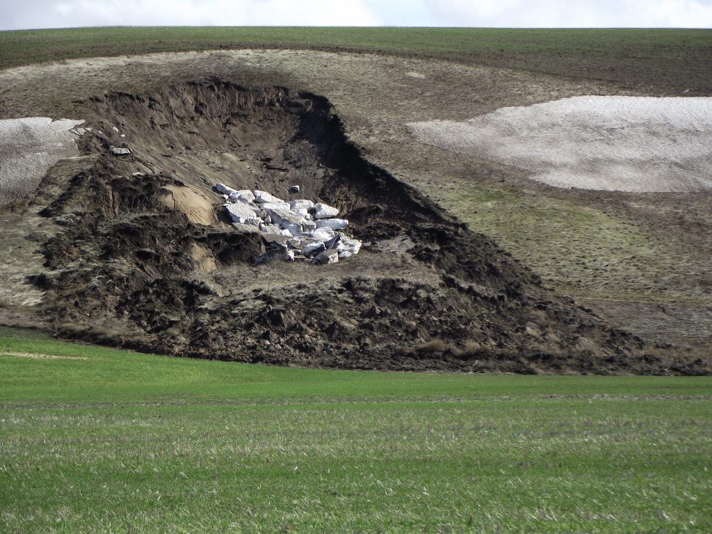
Land Slide
Overly saturated ground gives way, causing landslides in the wheat fields on Trestle Roads, near Viola, Idaho. 3/18/2017 -
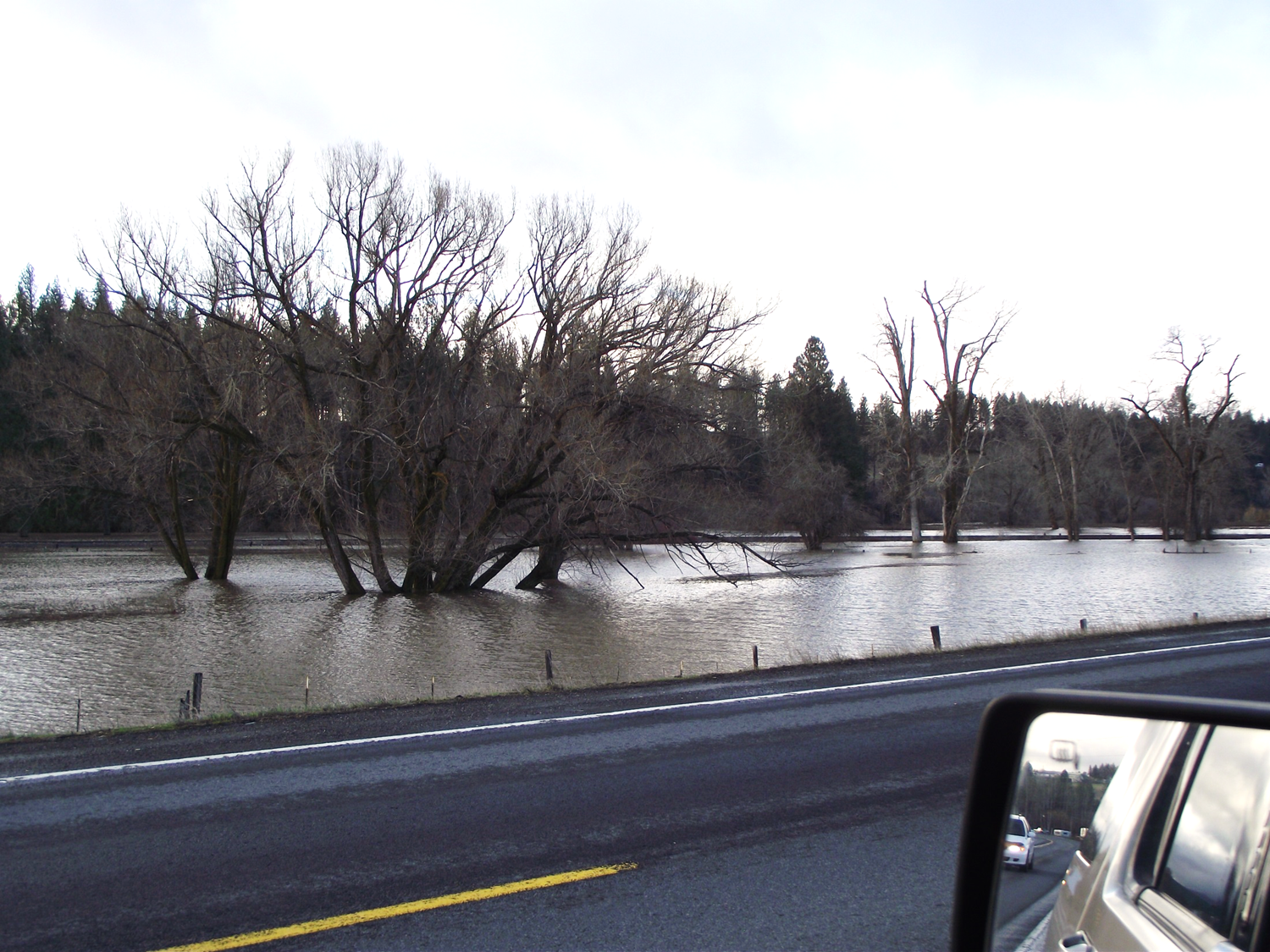
Potlatch Flood Station
This shows a picture of horse pastures along Highway 95 near Potlatch, ID. At shortly after 8 AM this morning the water was less than a foot from covering the railroad tracks and only 2 feet from crossing Highway 8 near the county shop. 3/16/17 -
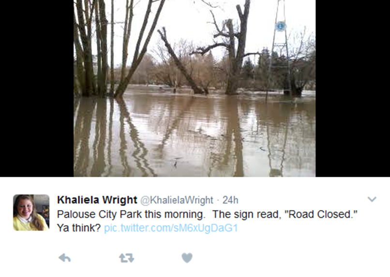
Twitter Post from yesterday.
Lion's Park in the City of Palouse, WA. 3/15/17 -
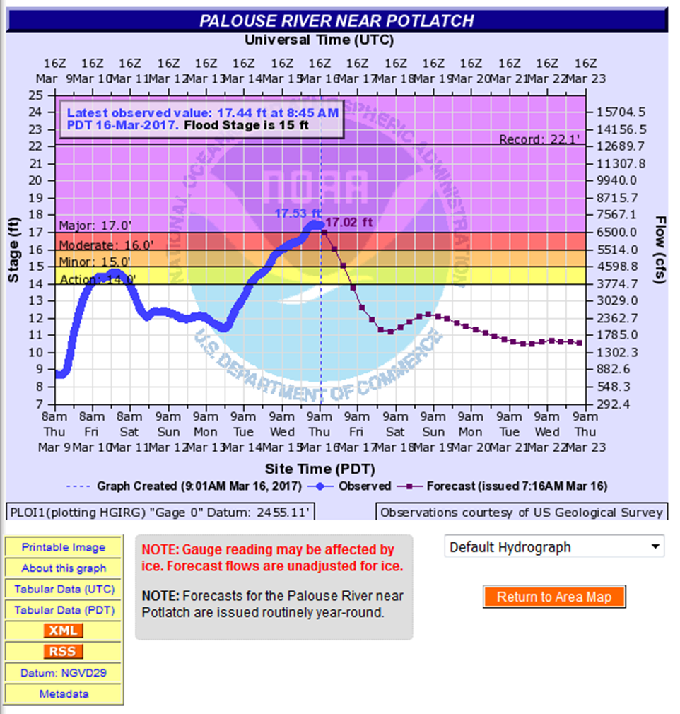
Palouse River Flood Watch
Here is the Hydrology information from when I was in Palouse this morning. You can track the hydrology information for yourself here: http://water.weather.gov/ahps2/hydrograph.php?wfo=OTX&gage=PLOI1 . -
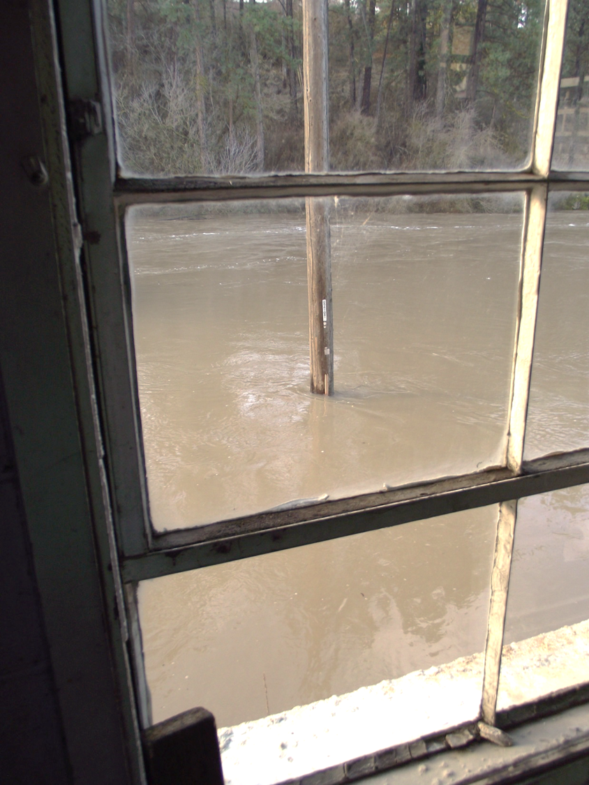
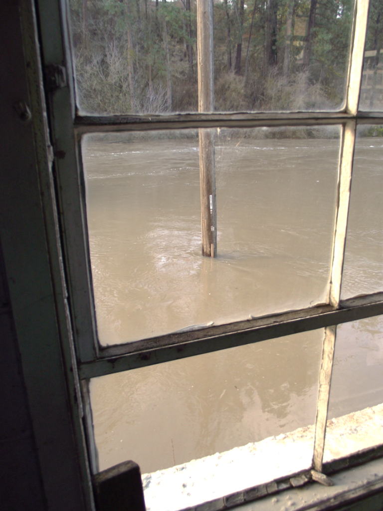
Alley off Main Street
Thanks to a blown gasket I had to stop in at Bagott Motors, Inc. in downtown Palouse, WA this morning. The mechanics were kind enough to take me in back so that I could get a look at the water in the alley. The stick on the light pole shows that the water is just over 3 feet deep in the alley. www.bagottmotors.com 3/16/17 -
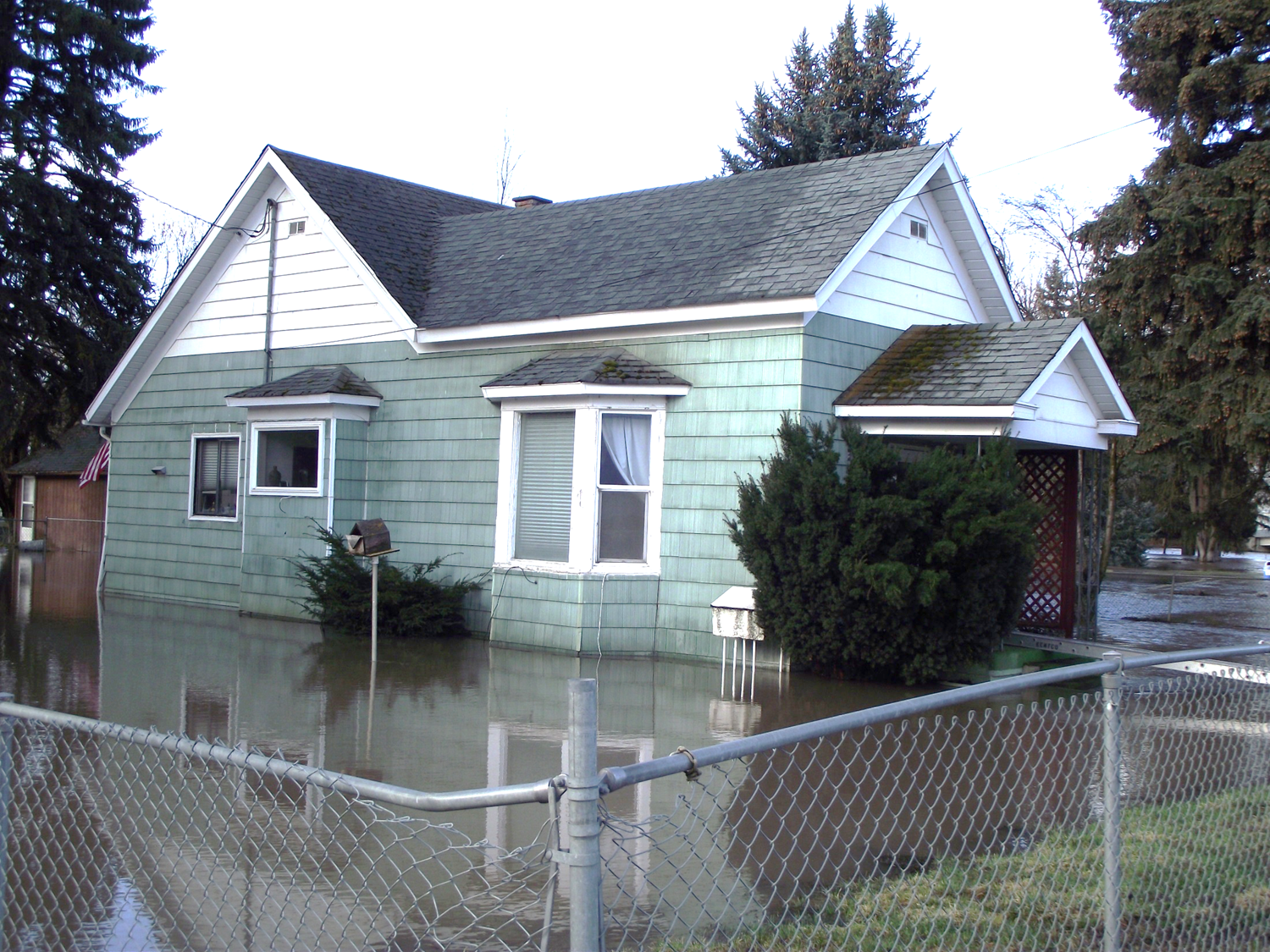
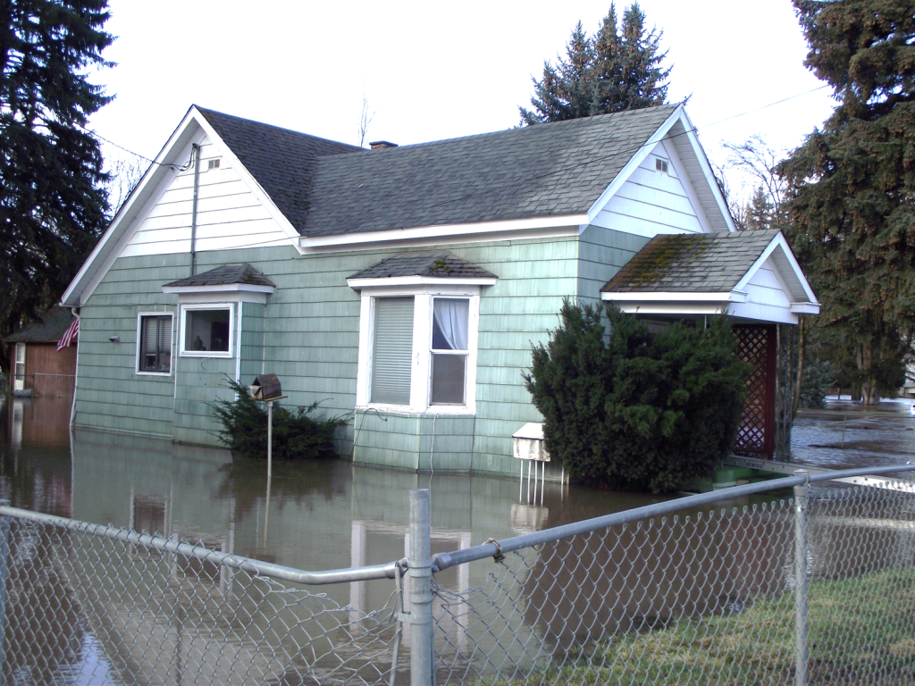
House Surrounded by Floodwaters
This house, surrounded by floodwater, is on Main Street in Palouse, WA. A rise of 6 more inches would have water running down main street. 3/16/17 -
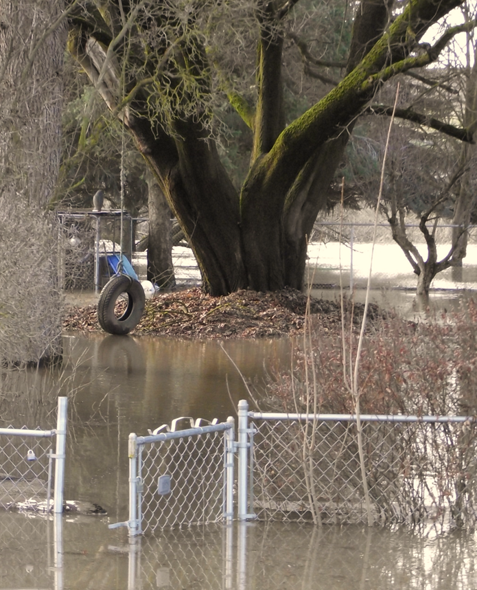
Child's Swing
A child's swing sweeps back and forth across a flooded backyard in the City of Palouse, WA. 3/16/17 -
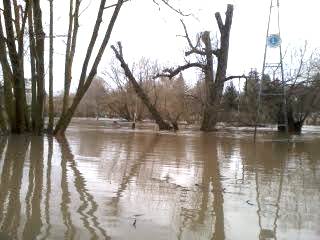
Lion's Park
The road is closed in Lion's Park and all the picnic tables are under water. 3/15/17 -
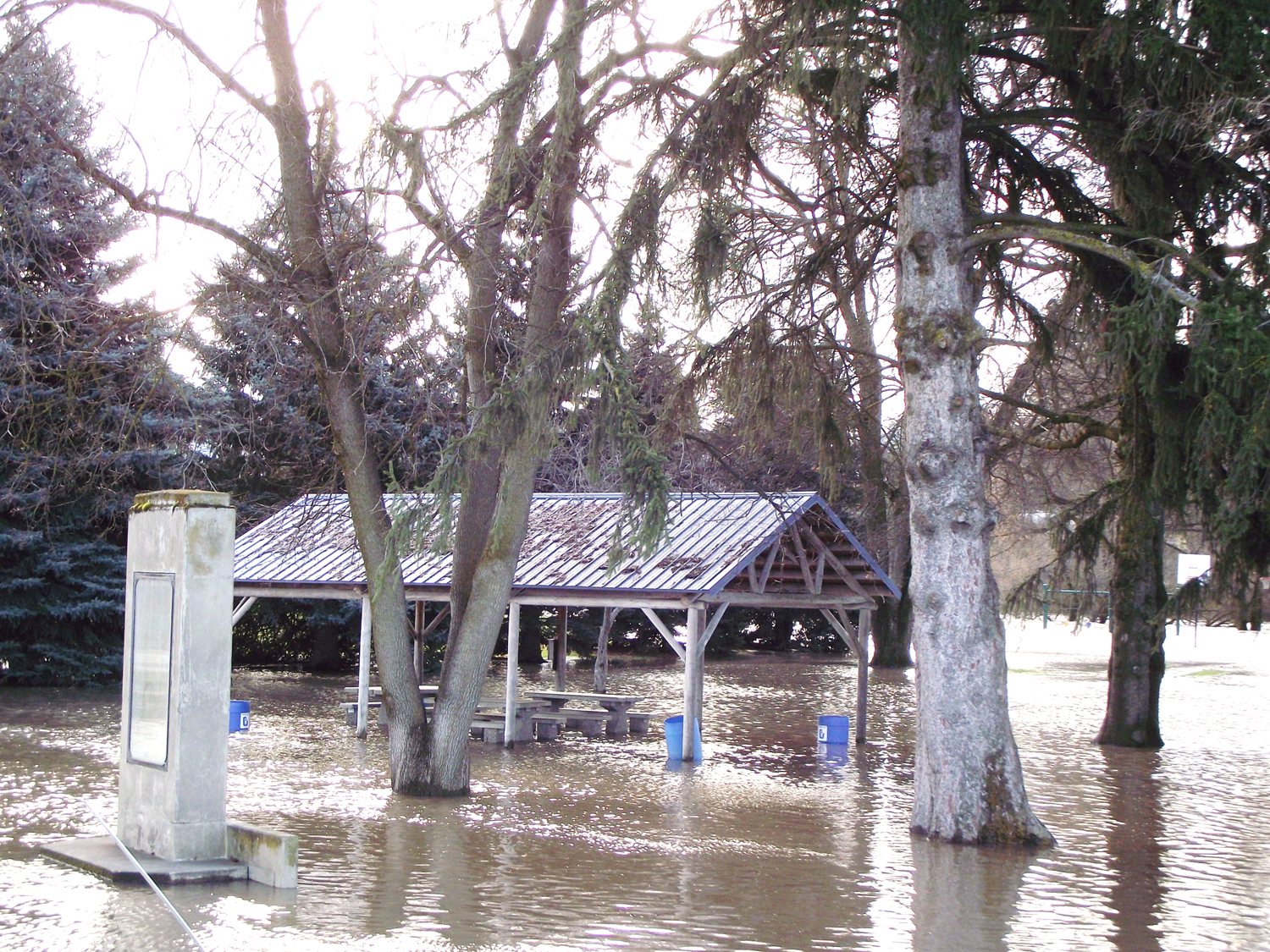
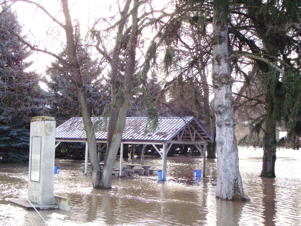
Palouse City Park
Floodwaters have reached the picnic shelters in the Palouse City Park in Palouse, WA. 3/16/17 -
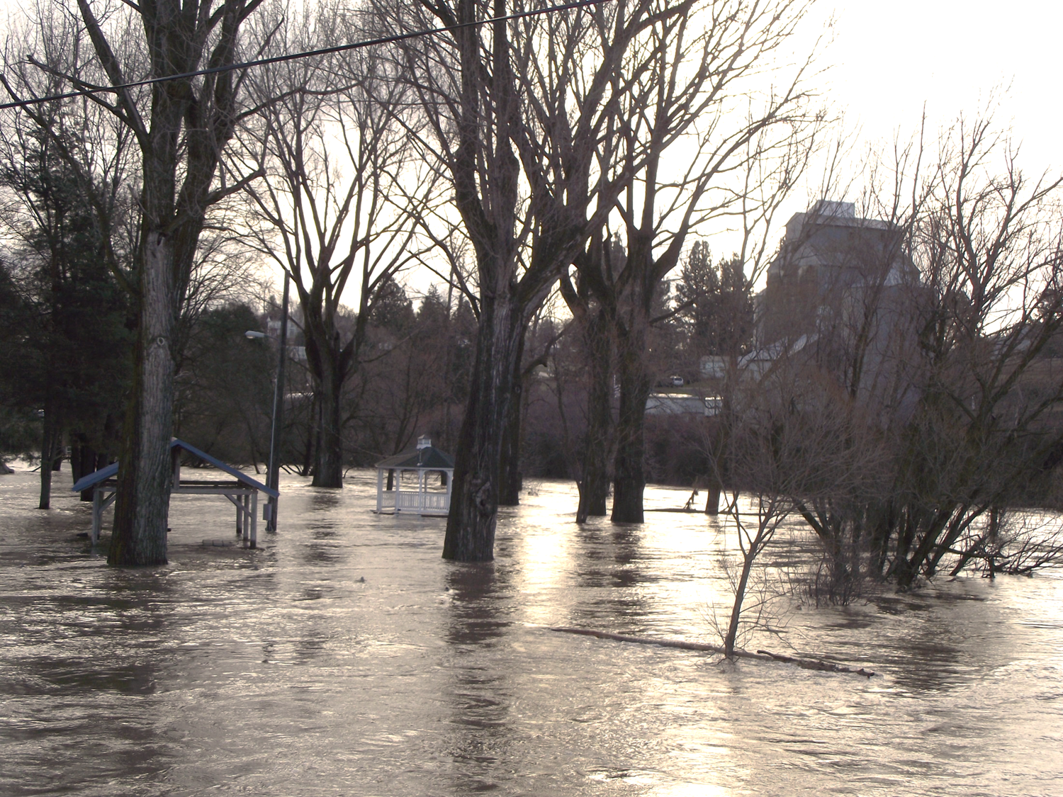
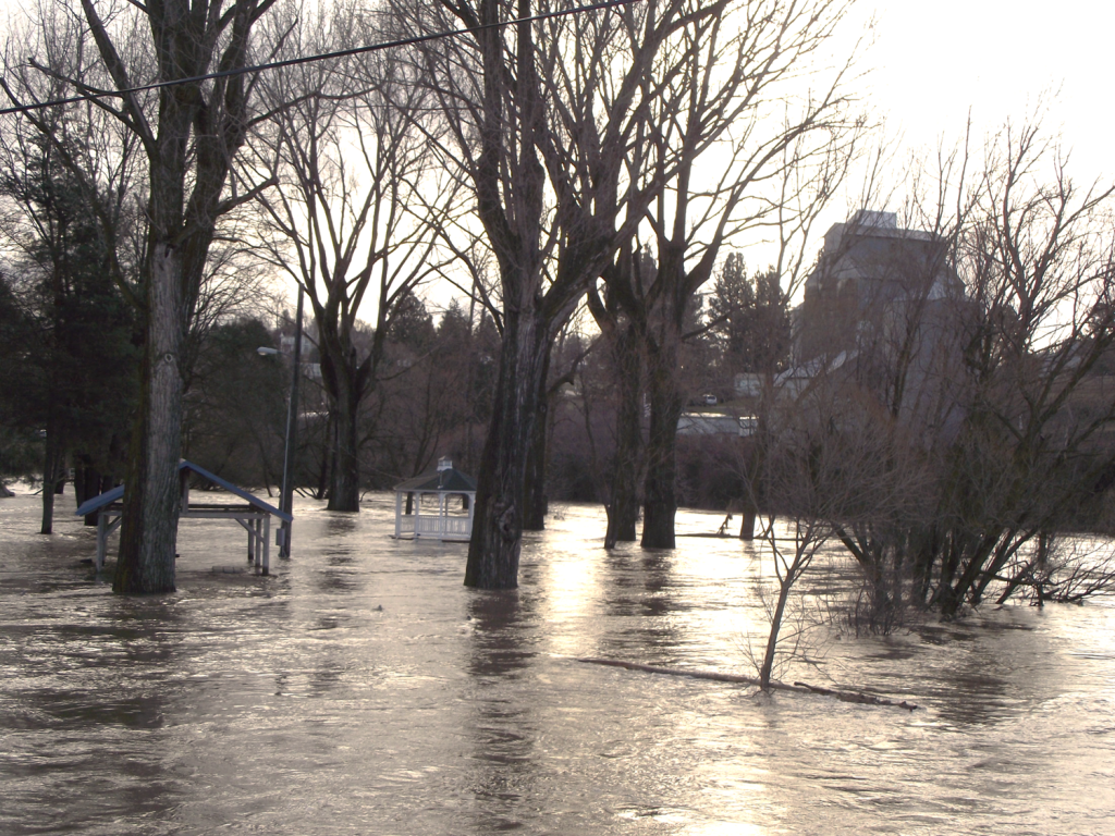
Gazebo at the Park
Floodwaters fill the park making the gazebo unusable in the City of Palouse, WA. 3/16/17 -
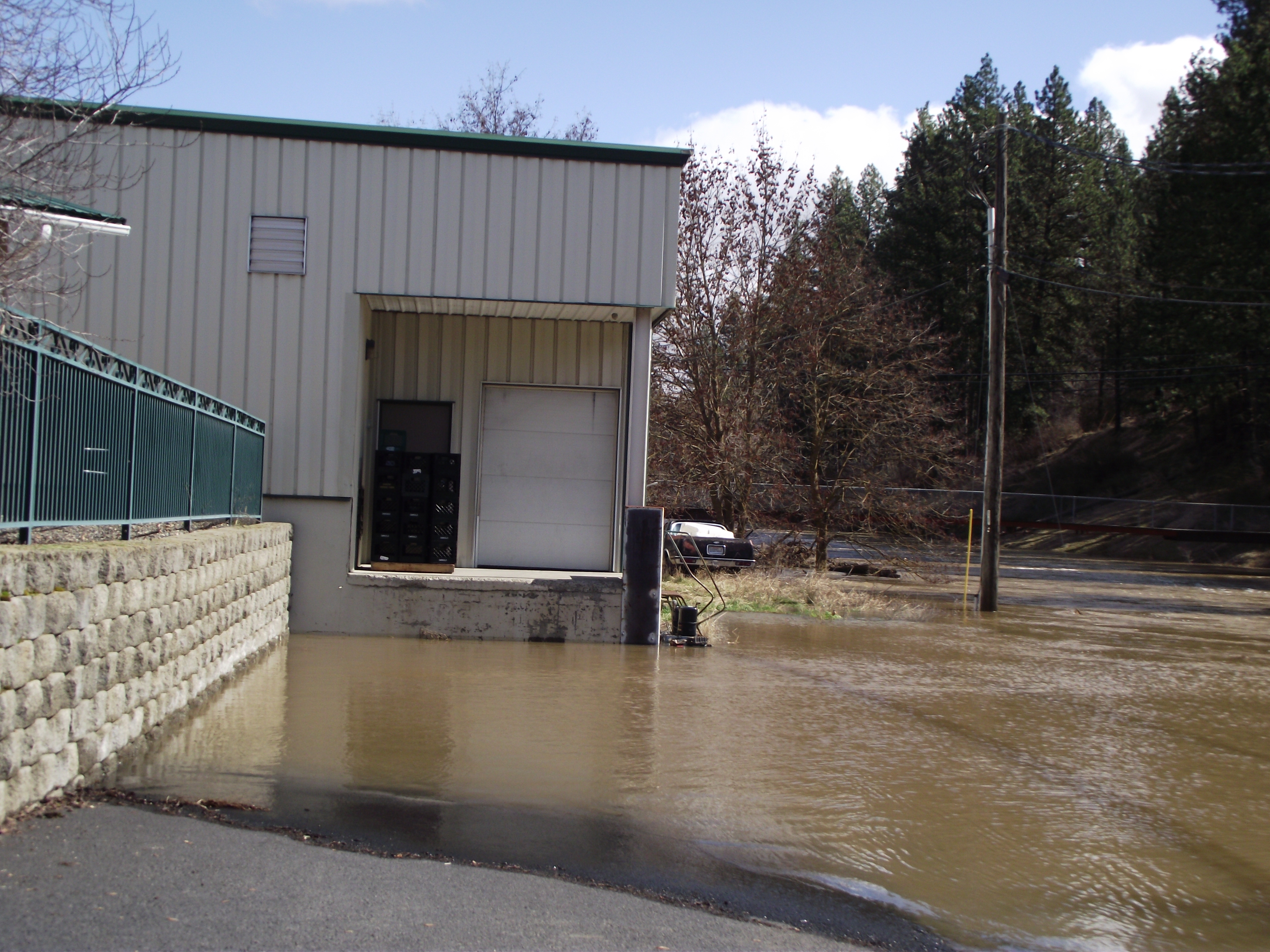
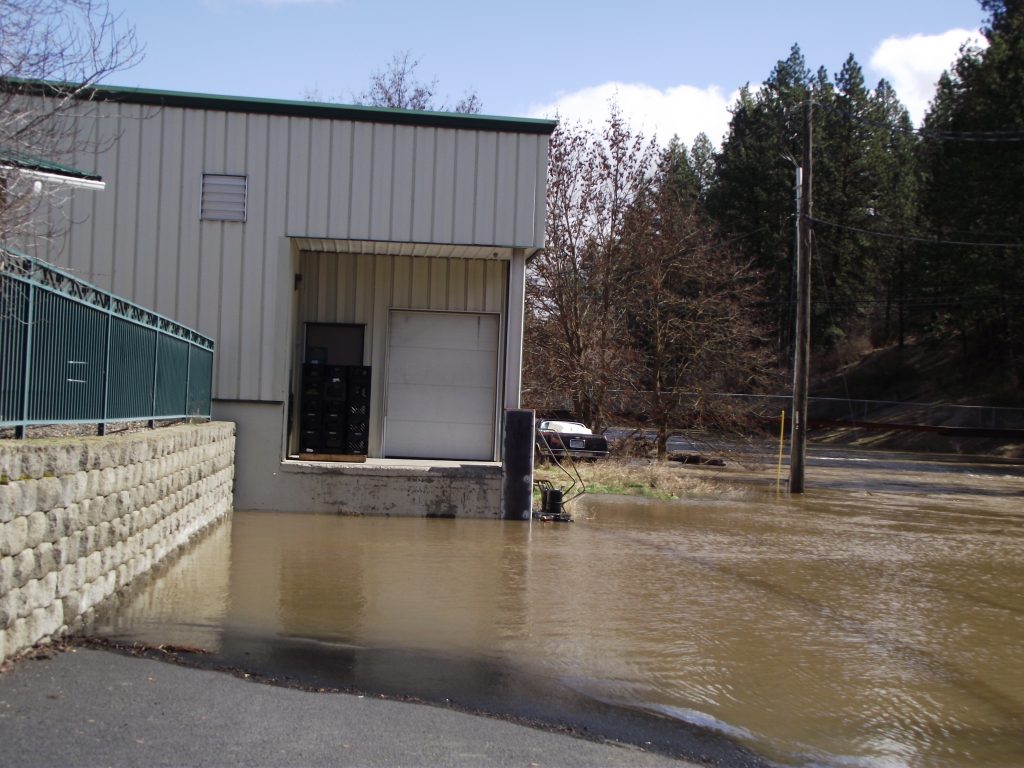
Grocery Store
Water reached the loading bay of the grocery store in Palouse, WA. 3/16/17

Pingback: The Ravages of March: Northern Idaho Flooding | Khaliela Wright